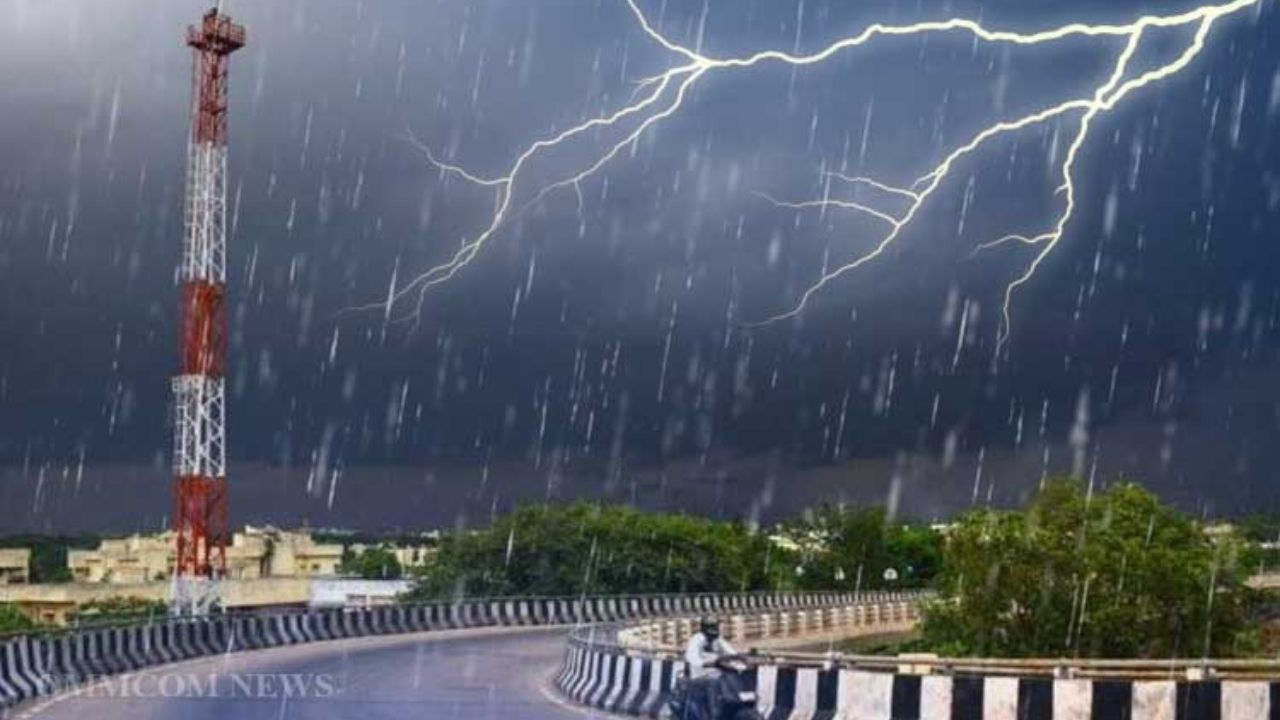
The Indian Meteorological Department (IMD) has issued heavy rainfall alerts for several regions of Odisha, bringing with it the potential for intense storms. Orange and yellow warnings have been issued in anticipation of heavy rain, thunderstorms, and lightning. The weather situation is driven by a cyclonic circulation that is affecting the southern part of Bangladesh, spilling over into Odisha and other areas. This news is vital, especially for people living in districts under the warning zone, who need to stay informed and prepared for potentially devastating weather conditions.

The purpose of this article is to break down what these warnings mean, the science behind the alerts, and what people can do to stay safe. Whether you’re living in one of the affected areas or just want to be informed about how the IMD tracks and predicts such events, this guide is for you. We’ll also cover how you can take simple yet effective steps to safeguard yourself, your family, and your property during these unpredictable storms.
Orange and Yellow Warnings for Odisha
| Topic | Details |
|---|---|
| Rainfall Warnings | IMD has issued orange and yellow warnings for various Odisha districts due to heavy rain and storms. |
| Affected Districts | Orange warning: Keonjhar, Mayurbhanj, Bhadrak. Yellow warning: Balasore, Kendrapara, Cuttack, etc. |
| Cause of Alerts | Cyclonic circulation over southern Bangladesh affecting Odisha’s weather patterns. |
| Precautions | Stay indoors, avoid unnecessary travel, and secure outdoor objects to prevent damage from winds. |
| Impact of Storms | Possibility of strong winds, lightning, flooding, and waterlogging in low-lying areas. |
| Official Source | IMD Website: IMD |
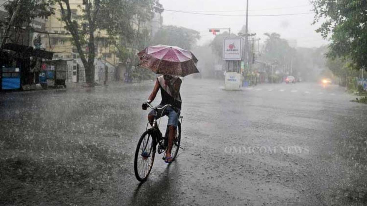
Odisha’s weather can change quickly, and it’s important to stay prepared for heavy rain, thunderstorms, and lightning. With the orange and yellow warnings in place, it’s crucial to prepare early and stay updated on weather alerts. Taking simple steps like staying inside during storms, securing outdoor items, and monitoring local forecasts can go a long way in keeping you and your family safe.
Remember, safety first. Stay informed, follow precautionary steps, and you’ll be in a much better position to weather the storm.
Understanding the Orange and Yellow Warnings in Simple Terms
When the IMD issues a rainfall warning, it’s essentially giving a heads-up about upcoming weather that could be dangerous. There are different levels of these warnings, and understanding them can help you decide how to act.
Orange Warning means: Be Prepared. It indicates that there’s a chance of heavy to very heavy rainfall (usually more than 100mm in 24 hours), along with the risk of thunderstorms and lightning. Areas under an orange warning, like Keonjhar, Mayurbhanj, and Bhadrak, are likely to face more severe conditions. If you live in these areas, it’s best to stay alert, avoid going outside unnecessarily, and be ready to take action if needed.
Yellow Warning, on the other hand, means: Be Aware. This warning suggests that heavy rain is possible (generally between 50mm to 100mm in 24 hours) but isn’t as severe as the orange warning. Still, it’s important to stay updated and be cautious, especially in Balasore, Kendrapara, Cuttack, and other districts mentioned under this warning.

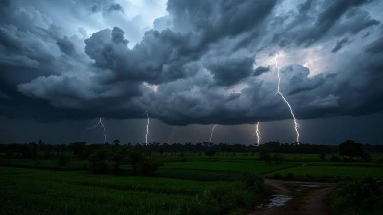
The Science Behind the Storms: What’s Causing the Alerts?
In simple terms, cyclonic circulations are like the engines of big storms. They happen when winds from the ocean begin to swirl, creating low-pressure areas that pull in more moisture and energy. The cyclonic circulation affecting southern Bangladesh right now is stretching its influence into Odisha, bringing with it the potential for heavy rainfall, strong winds, and thunderstorms. This is why IMD is on alert and warning the people in Odisha.
Now, let’s get a bit more technical: Cyclonic circulations can bring heavy rain because they draw in moisture from the surrounding areas. This moisture eventually cools down and forms clouds that can drop large amounts of rain when they hit the ground. The storm also brings strong winds and the potential for lightning due to the atmospheric instability.
For the average person, though, the bottom line is: expect a lot of rain, potential flooding, and dangerous weather conditions.
Key Steps to Stay Safe During a Heavy Rainstorm
1. Monitor Weather Updates Regularly
Whether you’re a regular news watcher or prefer updates online, staying informed is crucial. The IMD regularly updates weather reports, and it’s essential to keep an eye on their official website or their MAUSAM app. You can also follow local news stations for real-time updates. When a warning like this is issued, timely information is key to staying ahead of the storm.
2. Avoid Non-Essential Travel
When the IMD issues a weather warning, one of the best things you can do is stay put. Avoid going outdoors unnecessarily, especially during heavy rainfall. Roads may become flooded, making travel dangerous. If you do need to travel, keep an eye on road conditions and be prepared for possible delays or diversions due to waterlogging or fallen trees.
3. Secure Outdoor Items
It may sound simple, but securing outdoor furniture, tools, or anything that might get caught in the wind is a critical step. Even small items like garbage bins can become projectiles in strong winds, potentially causing damage to your property or others’. If you’re in an area that’s known for flooding or heavy rain, elevate anything that could be damaged by rising water.
4. Prepare for Possible Power Outages
Strong storms and lightning often result in power outages. Have backup lighting, such as flashlights or batteries, ready to go. You should also make sure that your phone is fully charged, and keep a portable power bank handy to stay connected in case of an emergency.
5. Be Ready for Flooding
In districts like Bhadrak and Keonjhar, which are prone to waterlogging, prepare for the possibility of local flooding. It’s helpful to know your area’s low points—places that are more susceptible to flooding. If you’re in a flood-prone zone, be sure to have important documents (such as IDs, insurance papers, and medical prescriptions) in waterproof bags. Keep them safe, and be ready to evacuate if necessary.
6. Stay Inside During Thunderstorms
Thunderstorms bring lightning, which can strike anywhere. Never stand under trees or near tall structures. If you’re caught outside, lie flat on the ground if you feel an approaching storm. The safest place to be is indoors, away from windows, and near electrical appliances. Always follow safety protocols when lightning strikes.
How IMD Tracks and Issues Warnings for Weather Events
The IMD uses a mix of satellite data, weather radar, and advanced forecasting models to track storms and cyclones. These models analyze data from thousands of weather stations to predict where storms will hit and how severe they will be. Once a cyclonic circulation is identified, meteorologists start working around the clock to forecast the storm’s path and intensity.
They also use historical data to determine how storms in similar conditions have impacted the region before. This level of forecasting accuracy is what makes IMD warnings so reliable, though they can’t account for all variables (like sudden weather changes or micro-climates).
For people in Odisha, the IMD’s forecast is vital in preparing for extreme weather. In cases where direct observation of weather patterns isn’t enough, satellite imagery plays a major role in tracking cloud formation and estimating rainfall.
Cuttack Issues Alert as Heavy Rainfall and Waterlogging Threaten City: Leaves Cancelled
Low Pressure Over Bay of Bengal Strengthens into Depression, Heavy Rainfall Expected in Odisha
Mayurbhanj Schools Stay Closed Today: Heavy Rainfall Warning Forces Immediate Closure!
FAQs
Q1: How do I know if I’m in an area affected by the orange or yellow warning?
To find out if you’re in an affected area, refer to the official IMD website or local news broadcasts for the latest weather warnings and updates.
Q2: What should I do if my area experiences flooding?
Stay away from floodwaters and move to higher ground. If you’re indoors, avoid contact with electrical appliances. Keep your family and pets safe by staying on the upper floors if possible.
Q3: Can I still go out in a yellow warning zone?
In a yellow warning, it’s more of a “be aware” situation, meaning you should monitor the weather closely. However, avoid going out if the conditions worsen.
Q4: How long will the storm last?
The duration depends on the storm’s movement. Typically, these types of storms last for 24-48 hours, but rainfall could continue for longer.
Q5: What’s the best way to stay informed during a storm?
Keep your phone charged and download the MAUSAM app for real-time updates. Local news stations and the IMD website will also offer continuous weather updates.